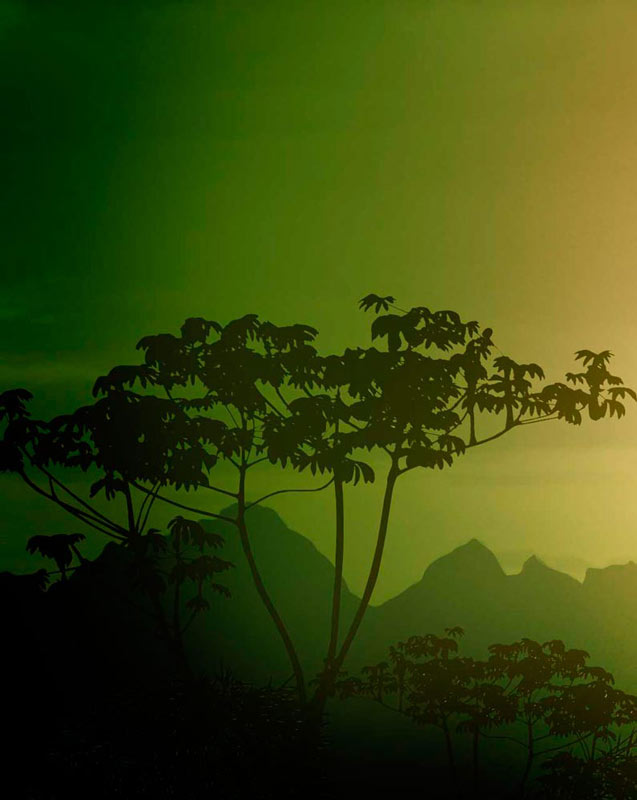
The route
that preserves
life.
About Us
LOS YARUMOS DEL CITARÁ Foundation is a non-governmental, non-profit organization, created to preserve and conserve forest ecosystems of the Colombian sub Andean forests. It is a group of people who feel very strongly about nature and life.
Mision
To Preserve and conserve our current ecological resources and recover those that have been damaged by the man, in order to benefit human life and its existence on our planet. This foundation protects various species from extinction or isolation safeguarding their habitats and their natural development.
Vision
To be a leading foundation in Colombia, worldwide recognized for the conservation and preservation of the ecosystems in the Colombian sub Andean forest ecosystems contributing significantly to human welfare through the protection of water resources, the creation of thousands of tons of clean air and the significant increase in biotic and abiotic resources of these ecosystems.
Objectives
•To promote activities and programs for the protection and maintenance of biodiversity.
•To favor the generation of clean air in large-scale.
•To protect and conserve water resources from their source.
•To create and implement environmental projects aimed at the conservation and sustainable management of ecosystems.
•To generate and conduct sustainability projects which are beneficial to the surrounding communities.
•To carry out thorough management of natural forests.
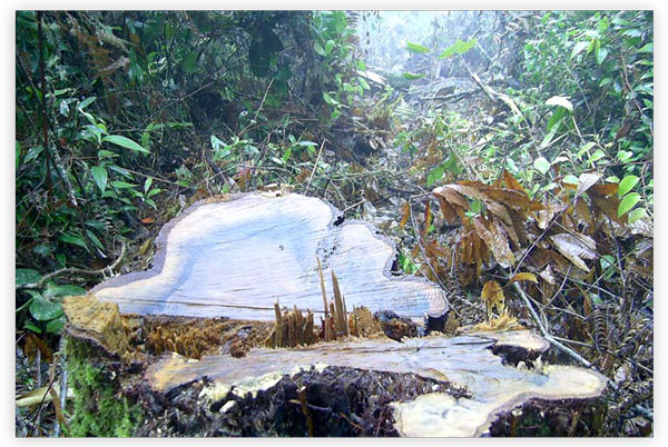
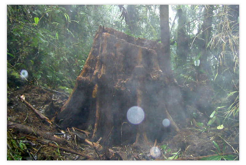
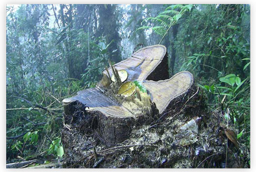
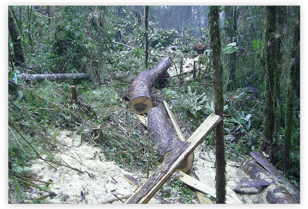
•To take action to stop deforestation and illegal logging of natural forests.
•To make agreements with governmental and nongovernmental organizations to support the protection of timber resources and wildlife.
•To expand the coverage of the Foundation through the acquisition of new land for their preservation and conservation.
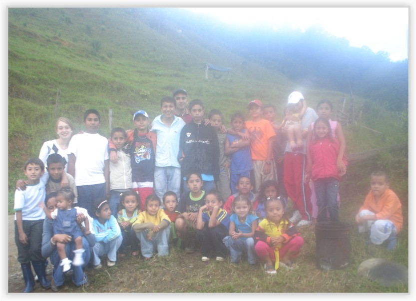
•To plan, organize and conduct educational courses with the community.
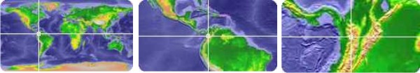
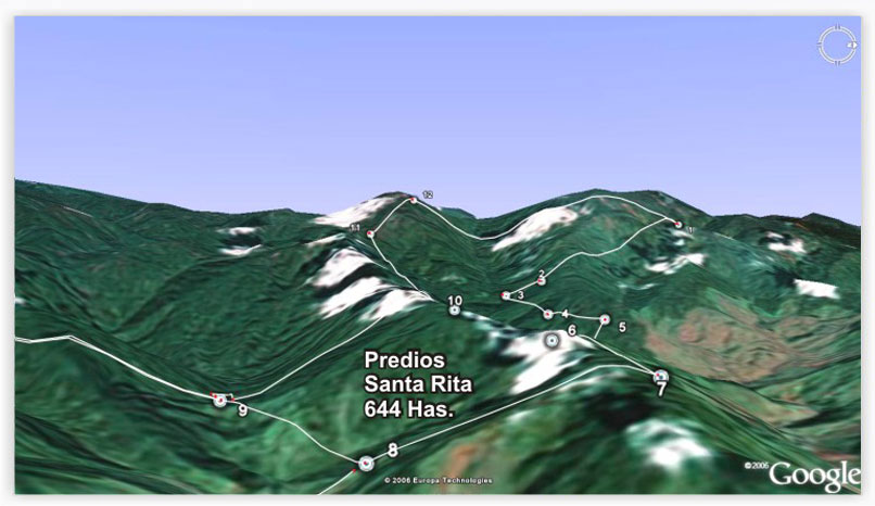
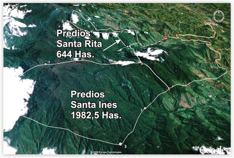
Location and Cartography
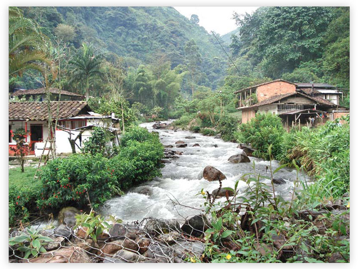
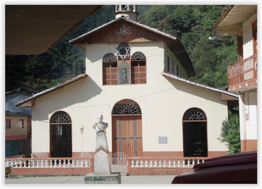
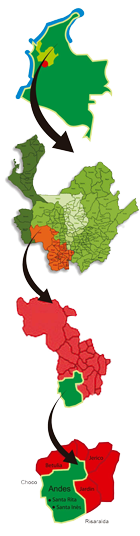
The Foundation "los Yarumos Del Citará" is established in the Natural Reserve Yarumos del Citará, located in the northwestern region of Colombia along the departments of Caldas, Risaralda, Antioquia and Chocó.
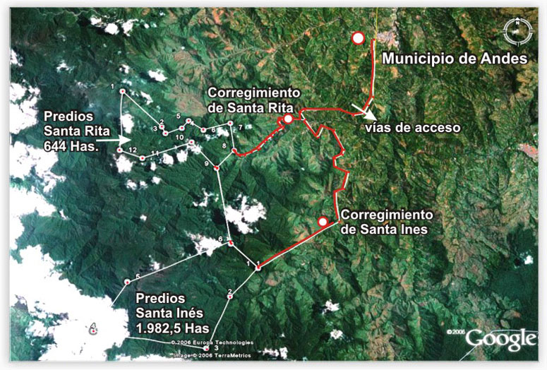
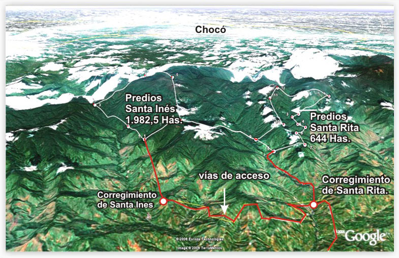
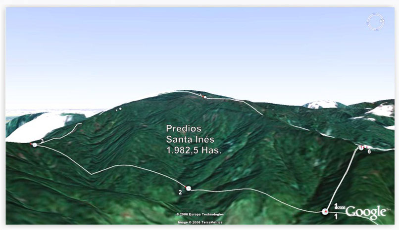
These lands are allocated for the protection of flora and fauna found in the Antioquia department, towards the southwest in the town of Andes, districts of Santa Rita and Santa Inés in the Citará jurisdiction.
This region has been acknowledged within the regional development as "The best corner in America", with great ecological and environmental expectations.
Currently, the foundation has mapping studies of lands located in the Yarumos del Citará owned by the Foundation according to coordinates which are consistent with aero-photo metrics pictures taken by the Agustine Codazzi Geographic Institute (ACGI) and Corantioquia.
View Gallery
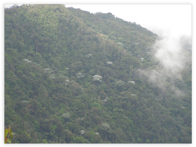
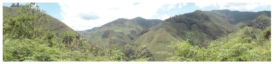
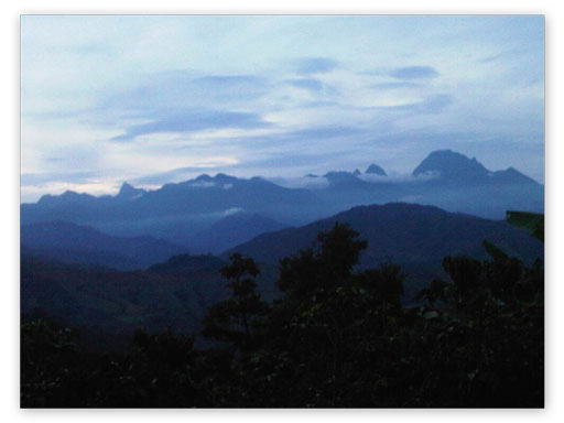
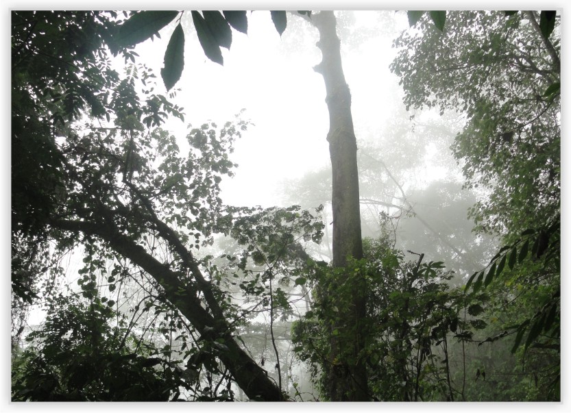
Background of the Nature Reserve
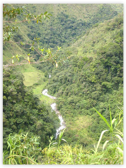
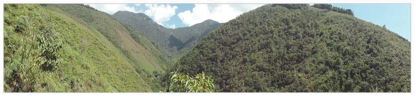
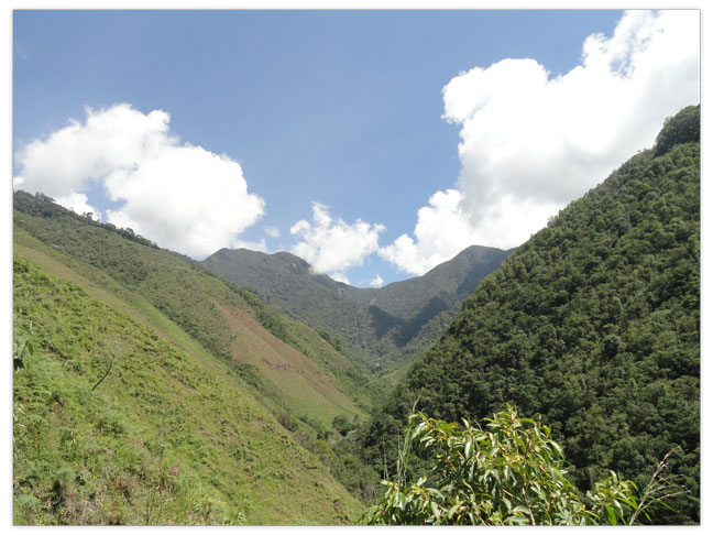
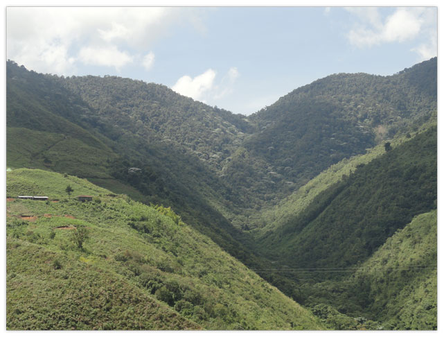
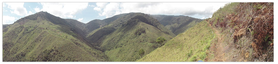
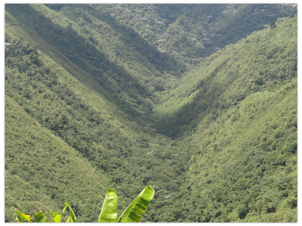
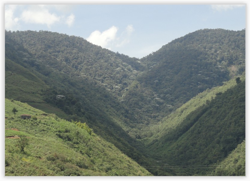
The western mountain range in its northernmost part becomes the dividing line between the departments of Antioquia, Risaralda and Choco, being "the Citará Cliff" the limit of southwestern Antioquia where steep mountains predominate.
These geological formations of singular beauty covered with forest vegetation and great diversity of water, flora and avifauna were declared under Law 99 of 1993, art. 1, as "Natural Reserve Area for protection and biotic diversity of the Nation". In addition, it has a total area of 25,360 hectares, including a buffer zone of 7,970 hectares, located in the townships and villages in the municipalities of Andes, Betania and Ciudad Bolívar and a Natural Reserve Area of 17,390 hectares located among the departments of Antioquia, Risaralda, Caldas and Choco.
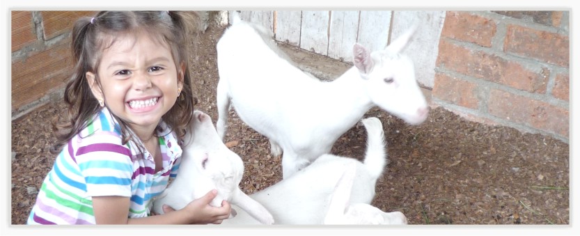
Background of the FoundationA group of people from a family with a high level of sensitivity and ecological awareness, decided to set up the foundation "LOS YARUMOS DEL CITARA" In this reserve of extraordinary natural wealth.
This family, whose desire is to preserve the natural balance in the mountains of Antioquia for more than a decade, achieved their dream on December 20, 2006 through charter duly registered at the Chamber of Commerce of Bogotá.
Features
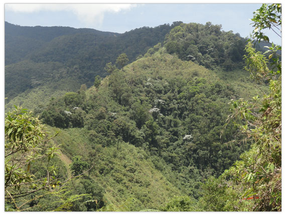
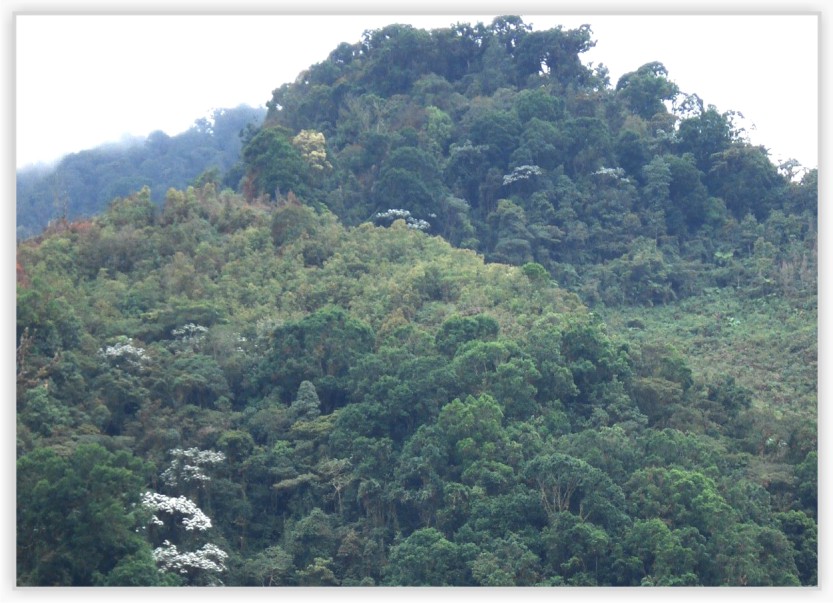
Geology and GeomorphologyThe geological composition of the area is part of the formation of the western mountains and the mountain chain "Citará Cliff", which are united by the same geological core which comprises Cretaceous sedimentary rocks, plutonic igneous rocks, batholith cliffs and a small unit of young volcanic rocks that can be seen along the whole geological structure.
The geomorphology of the areas corresponds to the characteristics of the middle part of the western range, which is described as a humid mountain system; thermal floors range from 3,200 m.a.s.l. to 2,200 m.a.s.l. These lands are located at the same height and have a low mountainous floor (bmh MB), better known as cloud forest and is located between 2,000 and 2.800 mts., altitude.
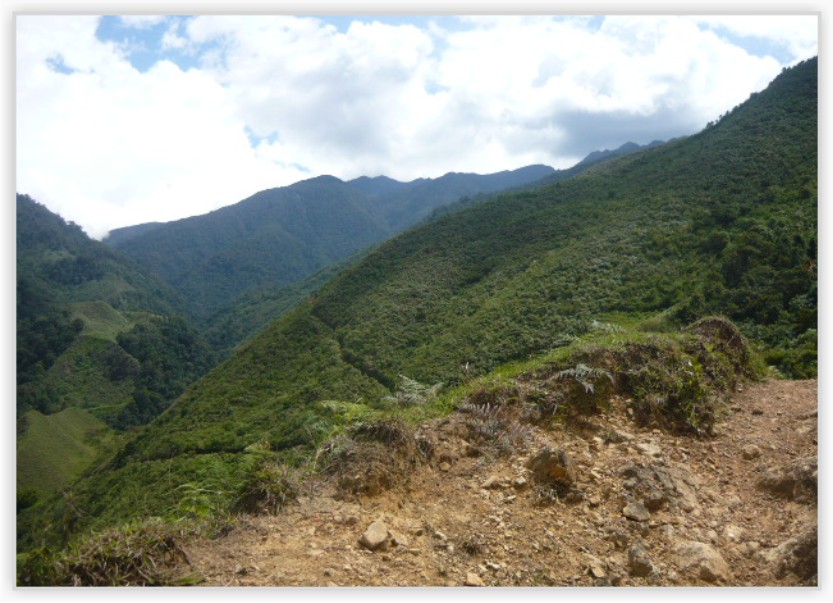
Topography
Topographically the land conditions have steep slopes (over 70%), rugged in almost all of the area, of varied lengths, and the ones above 200 mts predominate.
The soil is gravelly, but more evolved and deeper type of soil originates according to climate conditions, changing from yellowish-brown to reddish and clayish-gravelly texture.
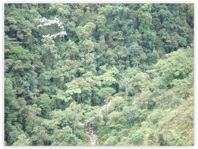
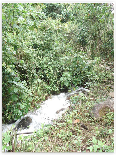
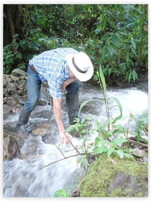
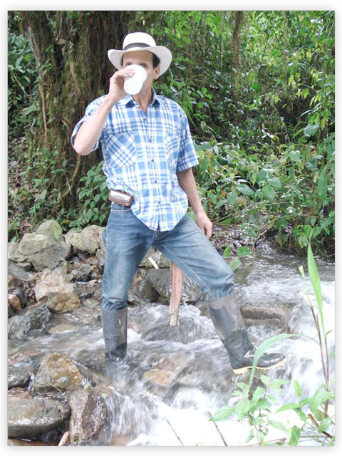
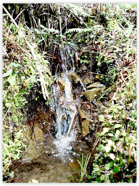
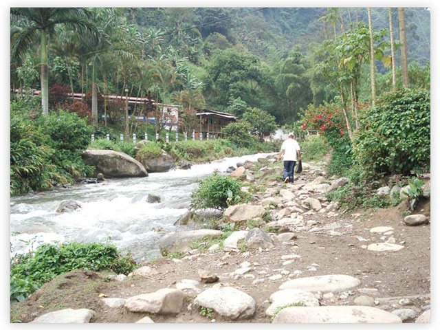
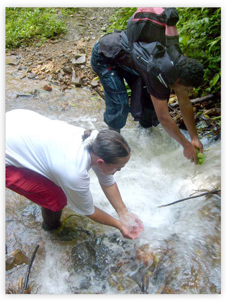
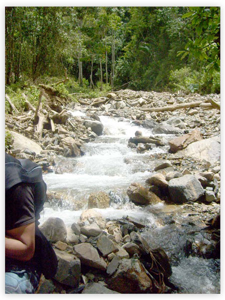
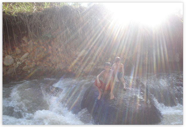
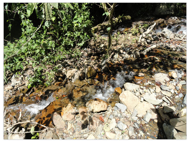
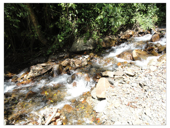
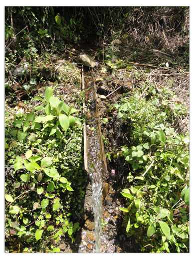
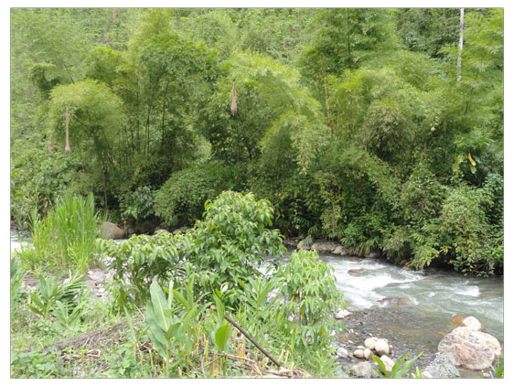
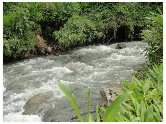
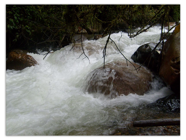
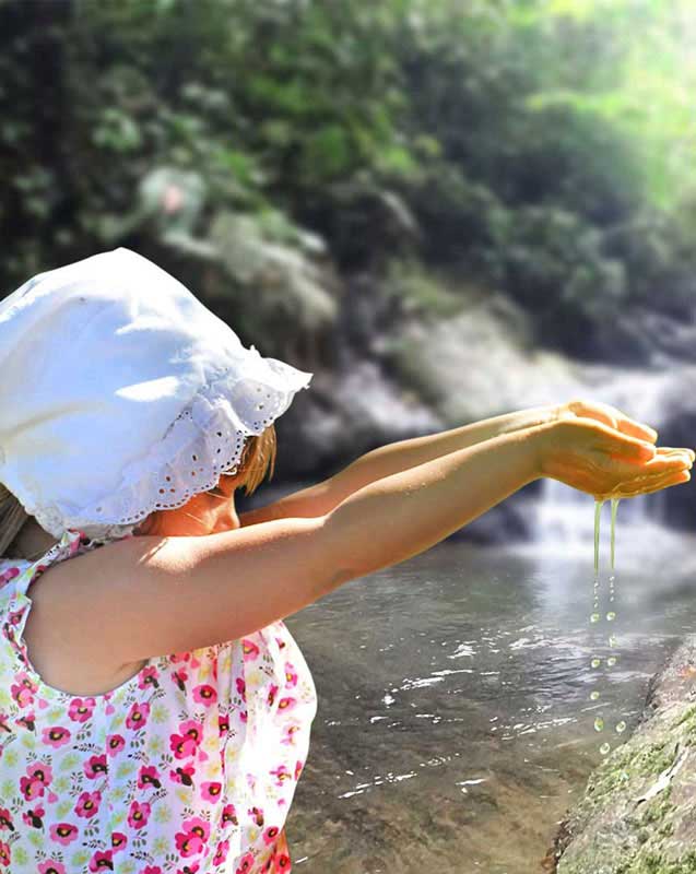
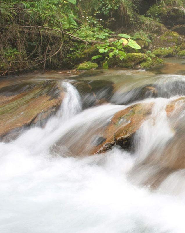
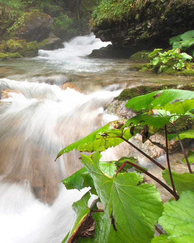
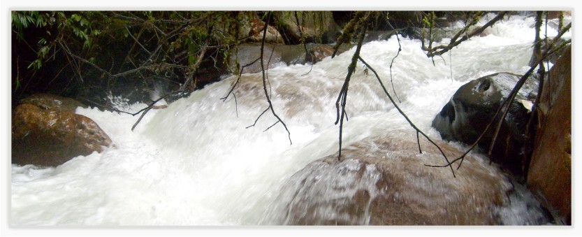
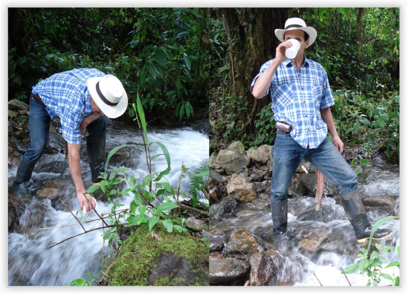
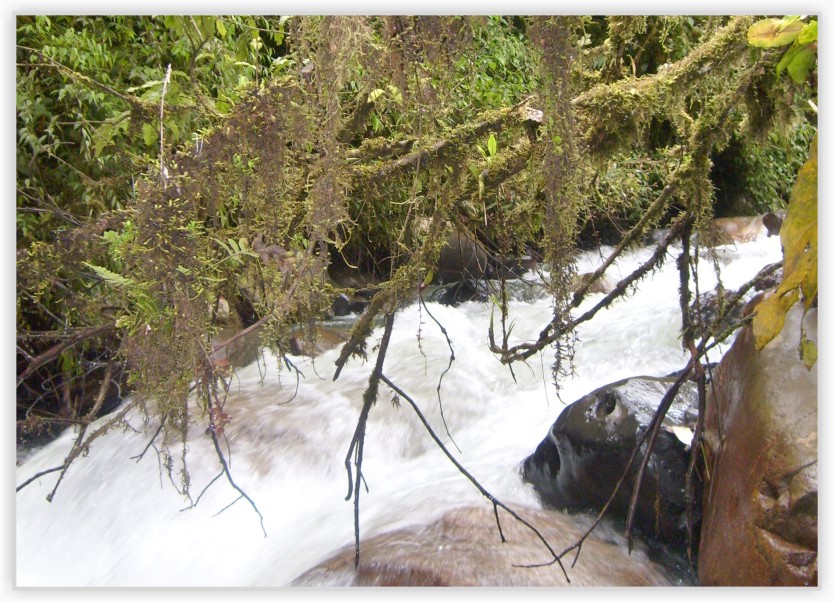
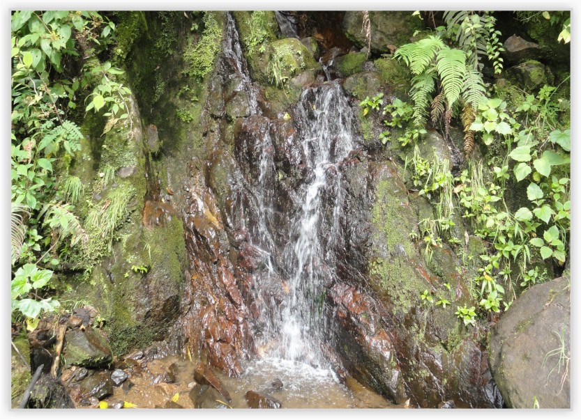
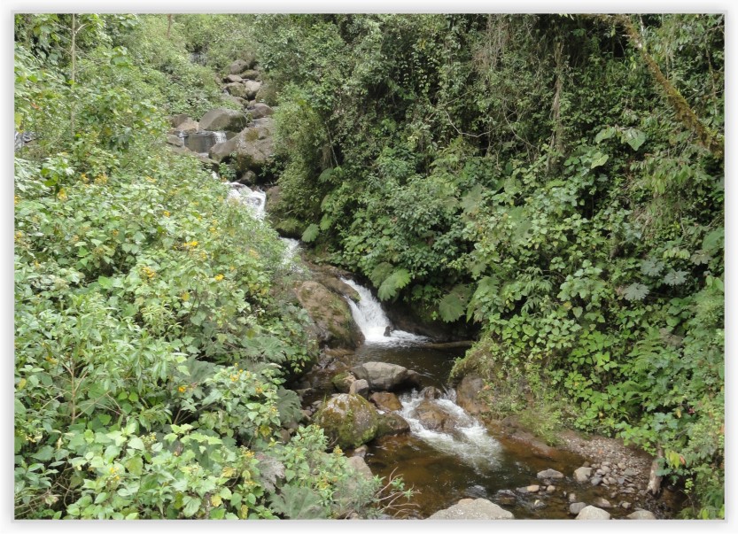
Hydrology
This water resource has great potential because it is formed by streams that supply aqueduct systems of municipalities and villages in the area, is also very attractive for the development of hydropower projects in which the competent organizations are making progress.
The most representative sources of water on this land are:
• Briaquil Brook
• Santa Isabel Brook
• Santa Rita Brook
• St. Augustine Creek, which flow into the Rio San Juan.
• The streams and the Chaparrala and the Monkeys supply water to both, Andes and Bolivar municipalities.
• The Santa Barbara creek, a tributary of the river San Juan. This stream of Santa Barbara is located toward the southern part of the Reserve "Farallones del Citará", bordering the departments of Risaralda and Choco. This creek has its origin in the foothills of Mount Caramanta, at a height of approx. of 3700 m.a.s.l. and has an area of 6940 hectares.
Climate
The average temperature in the area is around 24 º C in the 2,200 m.a.s.l. and temperatures of 16 ° C at 3200 m.a.s.l. It has a precipitation of 2000-4000 mm / year and is characterized by the presence of two seasons of heavy rain and two relatively less rainy seasons.
The months with less rainfall are December, January, and February. From March to May takes place the first cycle of rains, being May the month of highest rainfall with 316.8 mm and greater cloudiness. In the months of June and July, the phenomenon of Indian summercomes , and then from August to November starts the second rainy cycle.
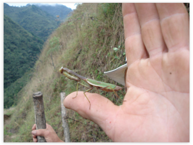
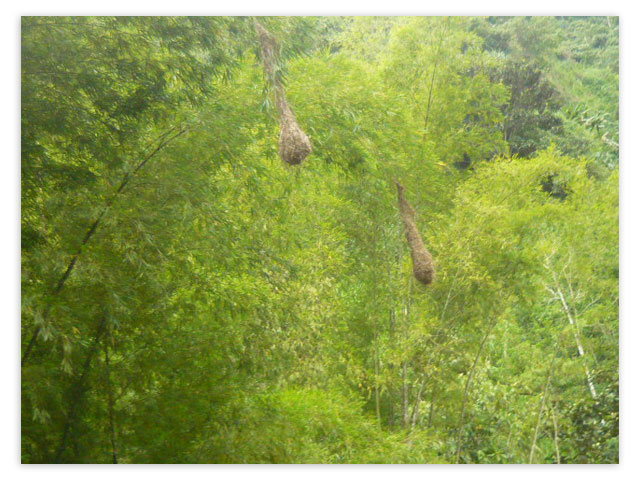
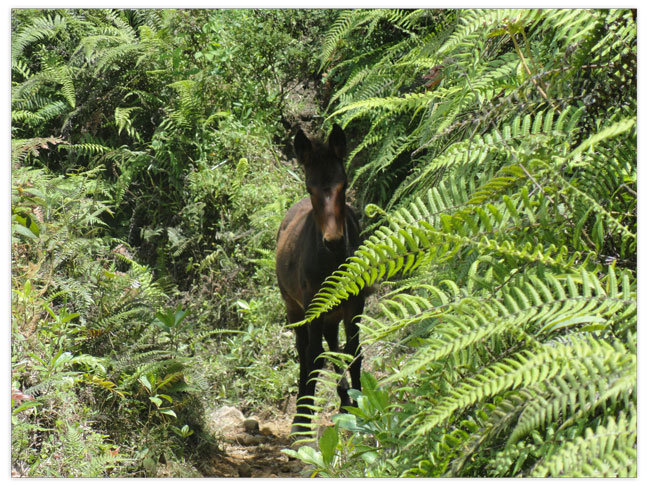
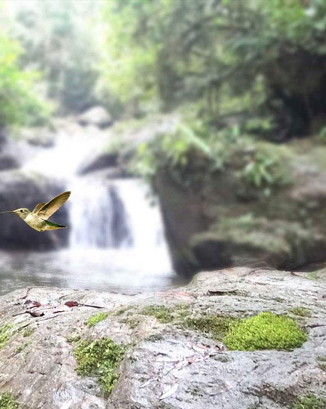
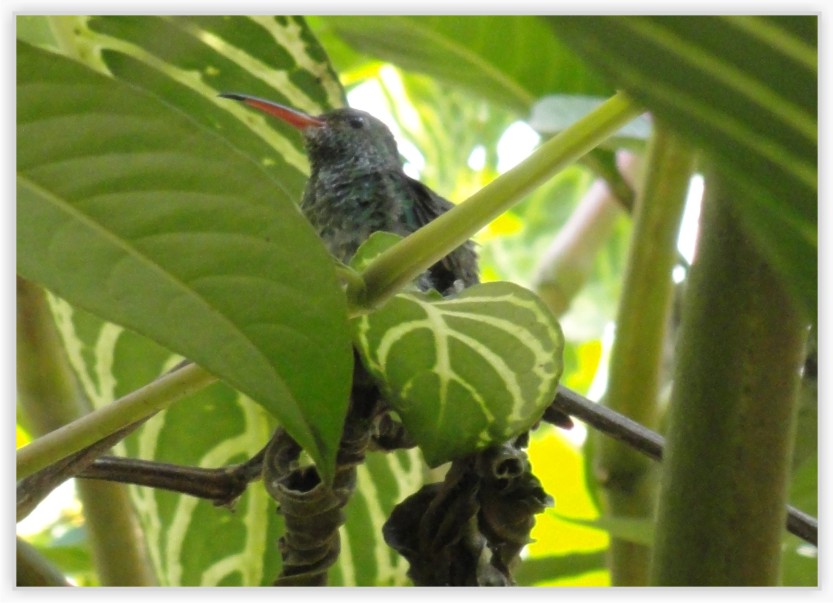
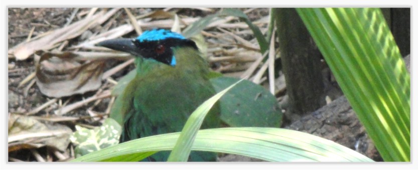
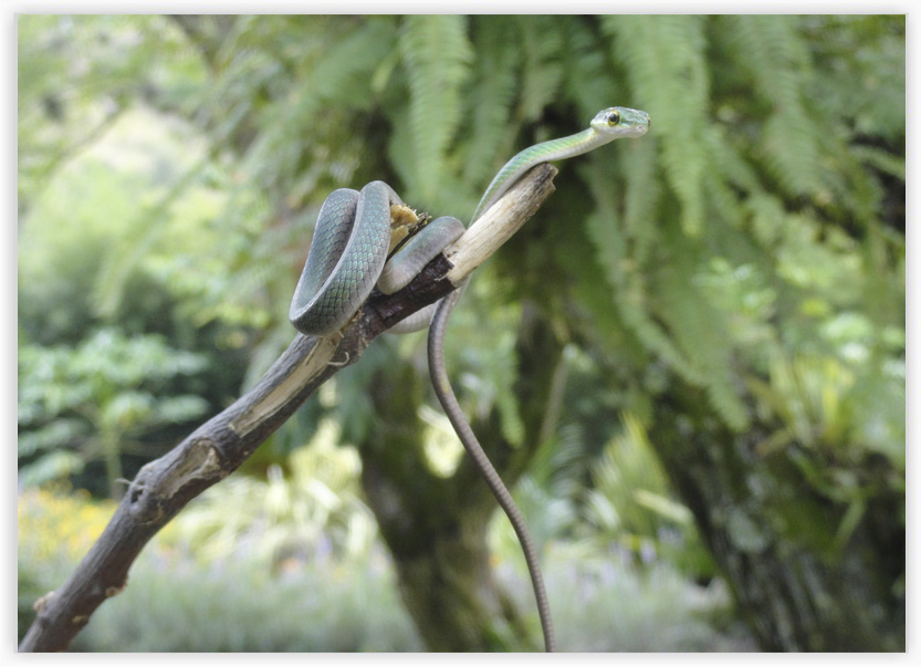
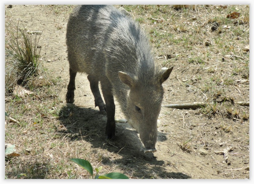
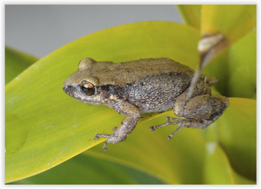
Fauna
In the foundation "LOS YARUMOS DEL CITARÁ" ecosystems, the wildlife predominates, which is still preserved thanks to the topographical conditions of the land, this area is rich in biodiversity. Among the different species can be found:
164 species of birds.
4896 insect species among which 2,700 are species of butterflies morph type.
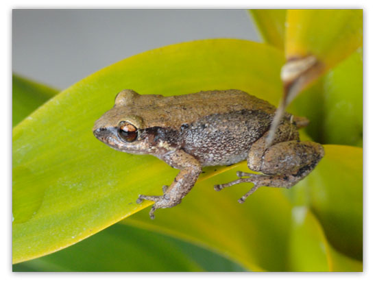
181 species of amphibians.
Some species of mammals (the number of species is hard to define due to their nocturnal habits and evidence of them is based on traces collection).
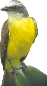
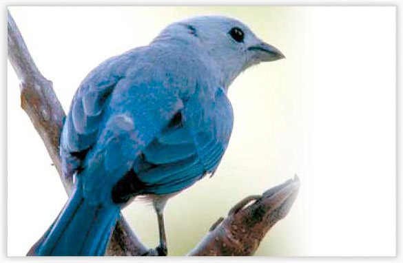
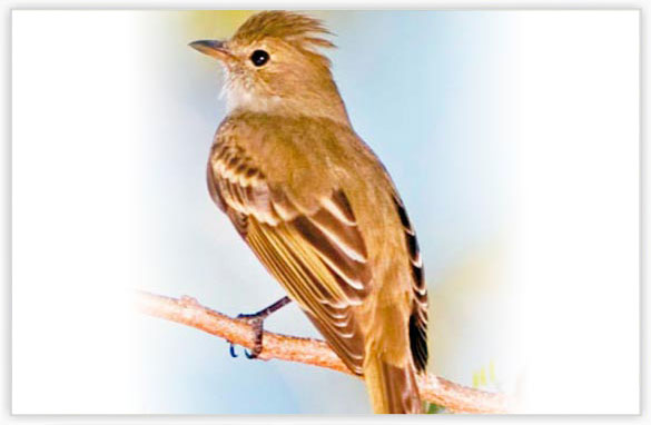
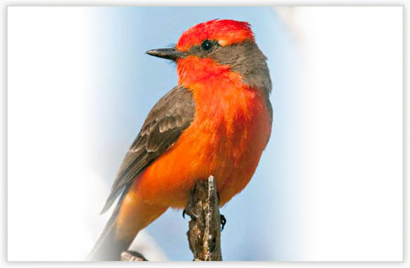
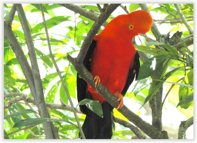
Birds
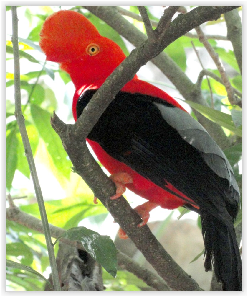
Of the 164 species, the richest family is the Tyrannidae, which highlights the "Gallito de Roca or Rooster of the rocks" as the most abundant bird in the region. They also include bluebirds and cardinals, the richest in color of all tropical birds; most of them are endemic from the Colombian jungle.
Amphibians
According to the wildlife studies conducted in the area, there are181 species of amphibians, in which they appear: Anura, the Caudata and Apoda.
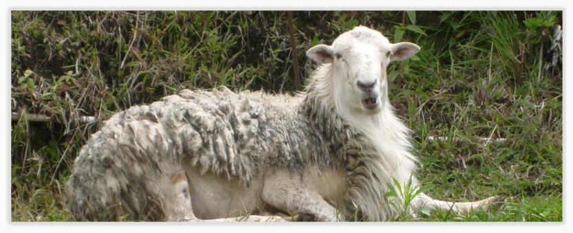
Mammals
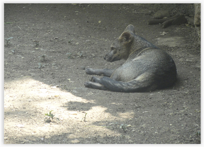
We can find a wide range of mammals in the area, such as:
• The mountain kinkajou (nassuella olive),
• The jaguarundi (Felis yago-uaroundi),
• The anteater (Myrmecophaga tridactyla),
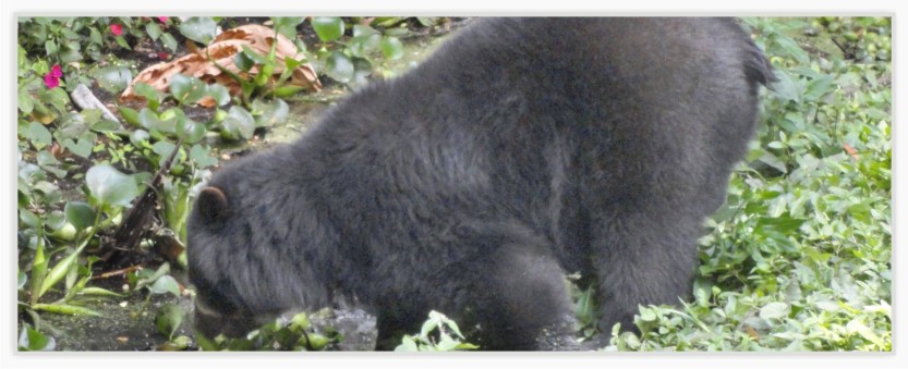
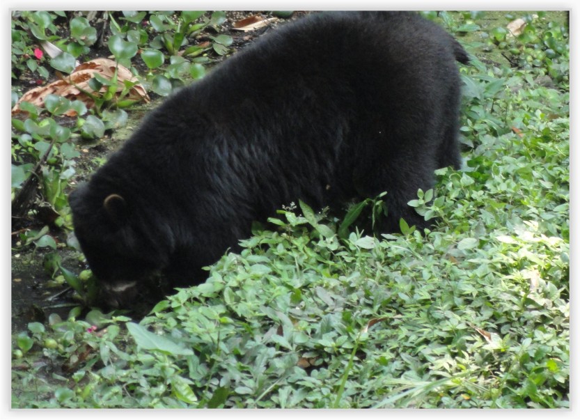
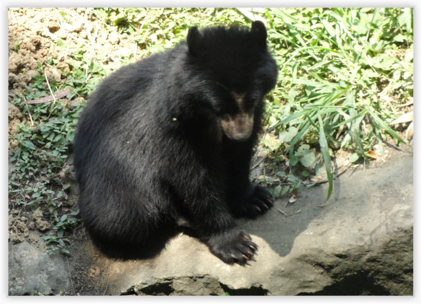
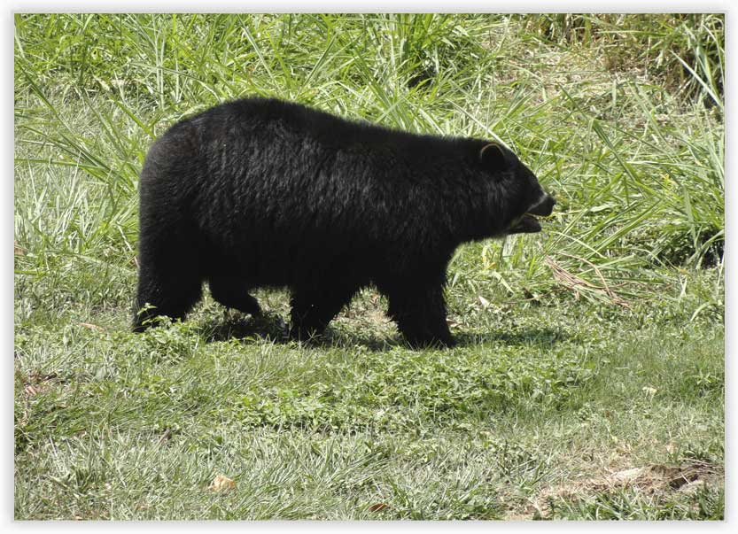
• The Andean Bear (Tremarctos ornatus),
• Squirrels (Sciurus grenades tensis),
• The stinking fox (didel-phis marsupialis),
• The gurre (Dasypus),
• The hedgehog (Erinaceus europaeus),
• The opossum (Didelphis virginiana),
• The weasel (Mustela frenata),
• The guagua (taczanowskii cuniculus),
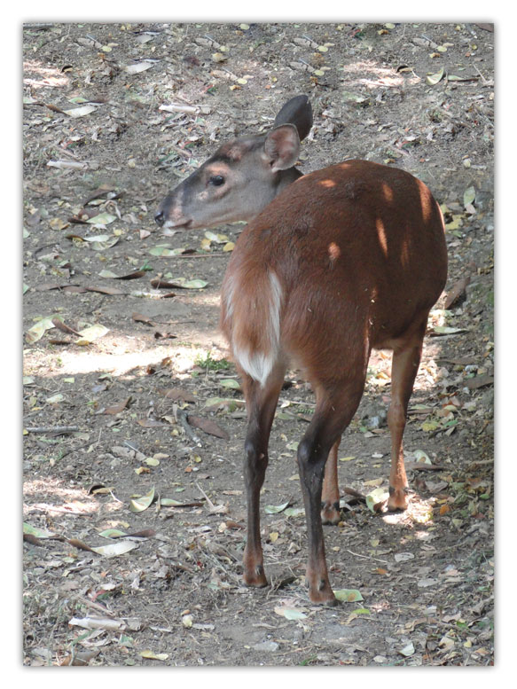
• The brocket deer (Mazama americana),
• The agouti (Dasyprocta punctata),
• The wild rabbit (Sylvilagus floridianus)
.
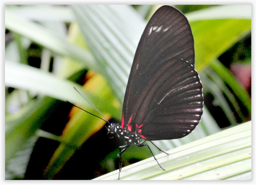
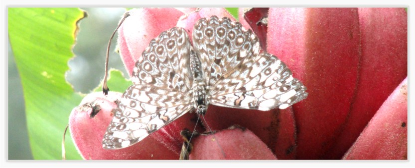
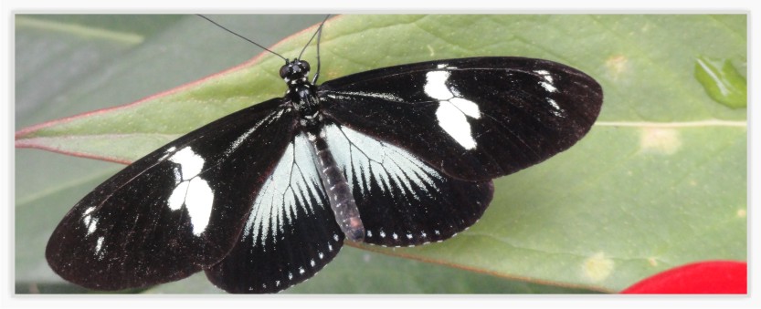
Insects
The region has an enormous richness of insect species of great ecological value, hence the wide biological significance and conservation programs in the area.
Butterflies are the largest group; 2,700 are species of morpho butterflies. These insects are responsible for pollination and seed dispersal in the area, what guarantees forest conservation and attests the ecosystem quality.
View Gallery
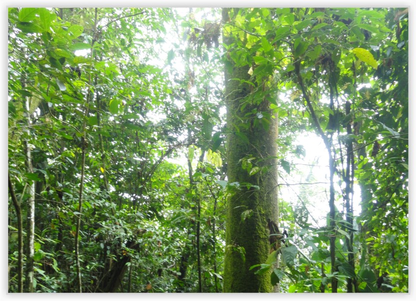
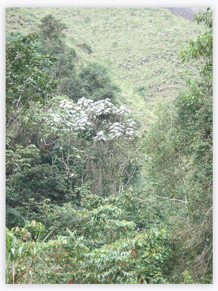
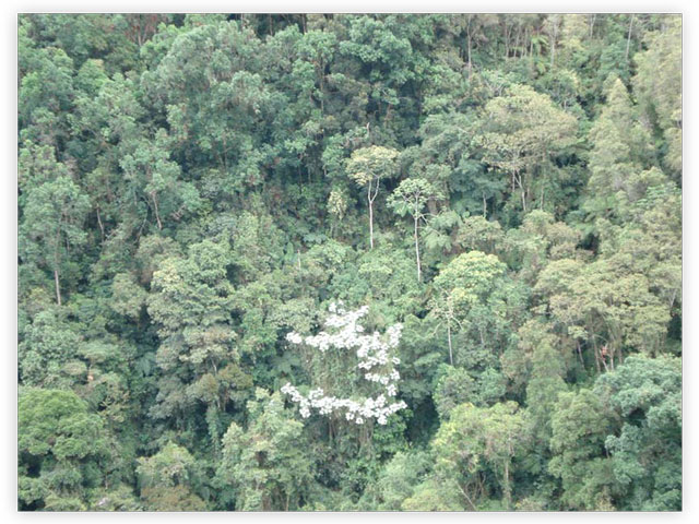
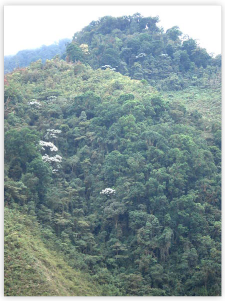
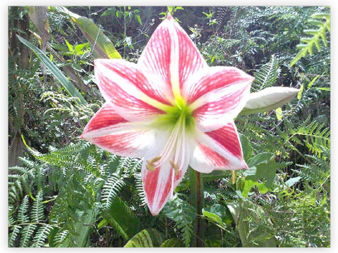
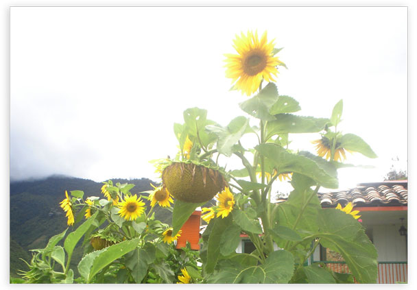
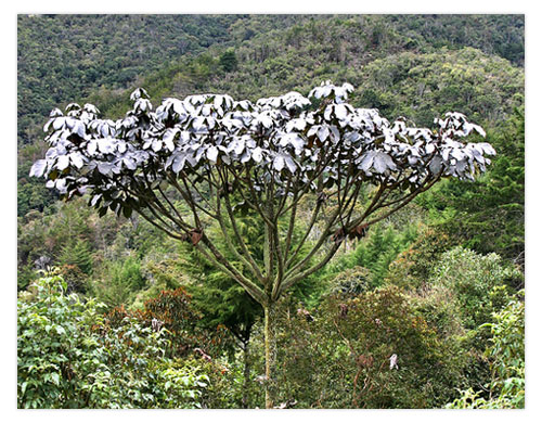
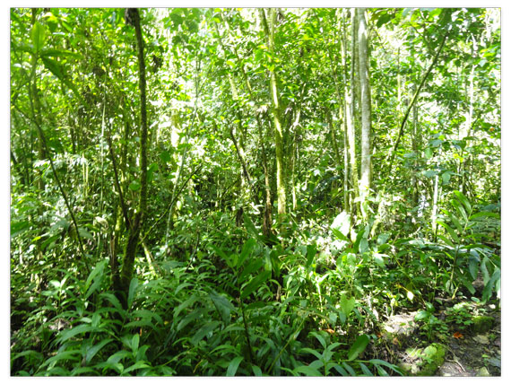
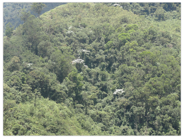
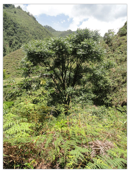
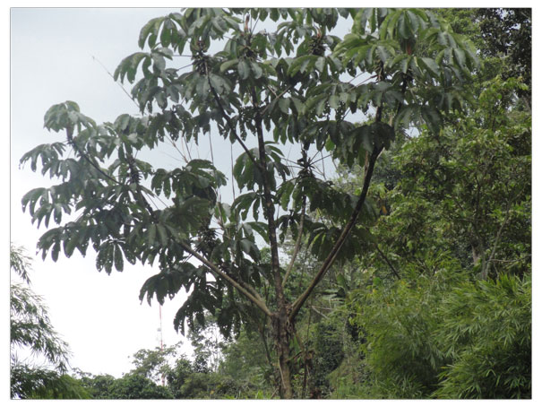
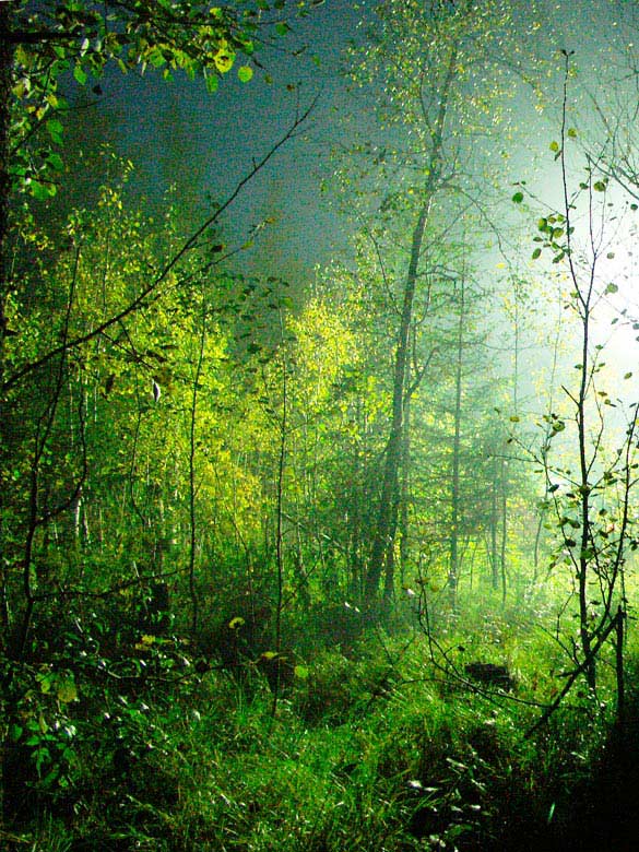
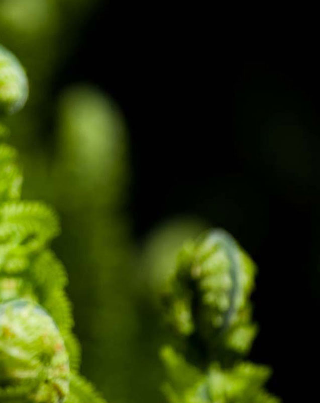
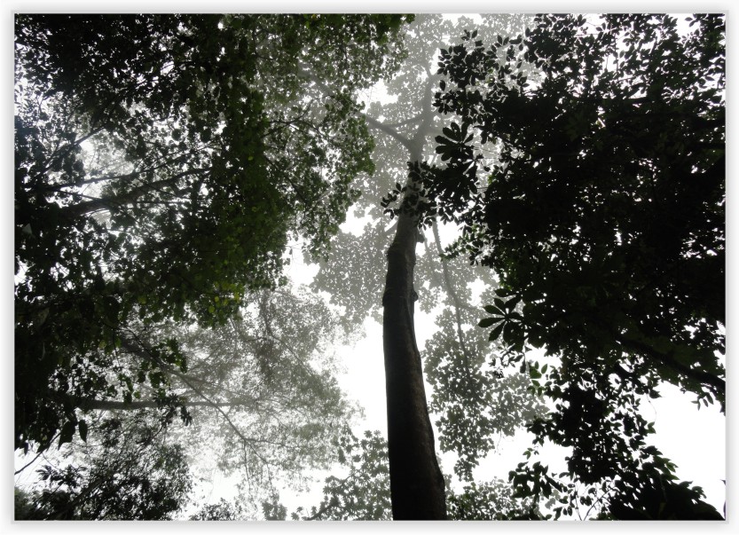
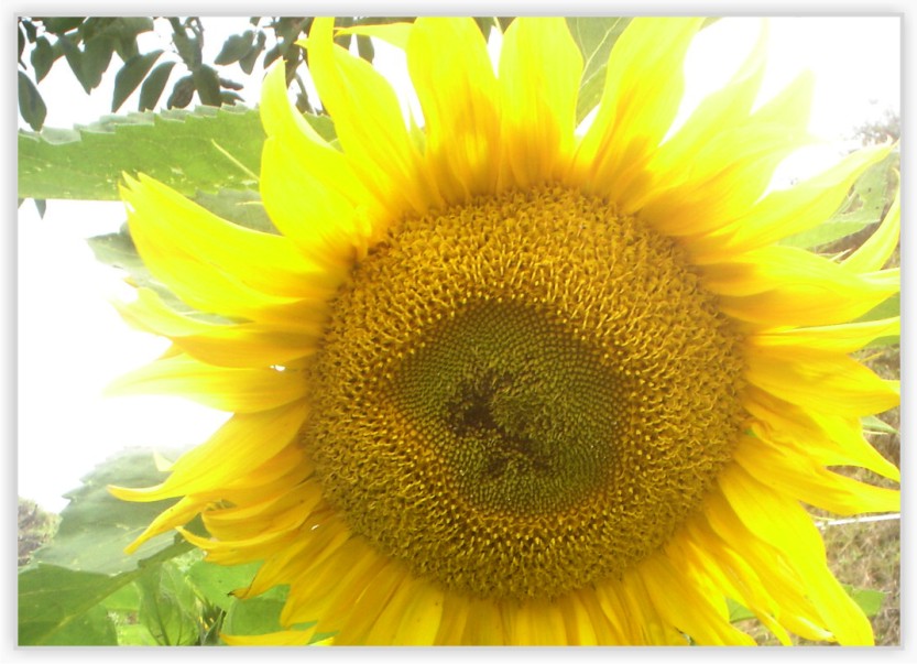
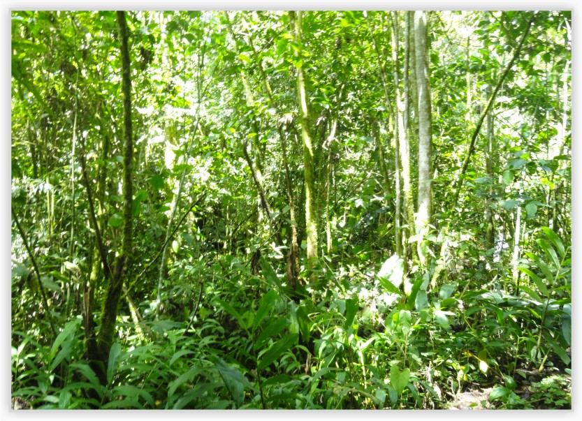
Flora
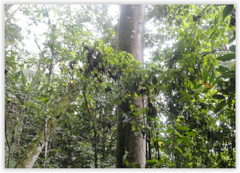
There is not a type of specific vegetation in the region, but a diversity of species and ecosystems are found instead. It is remarkable within the variety of ecosystems the one called "Cloud Forest" located between 1,500 and 3,000 m.a.s.l.
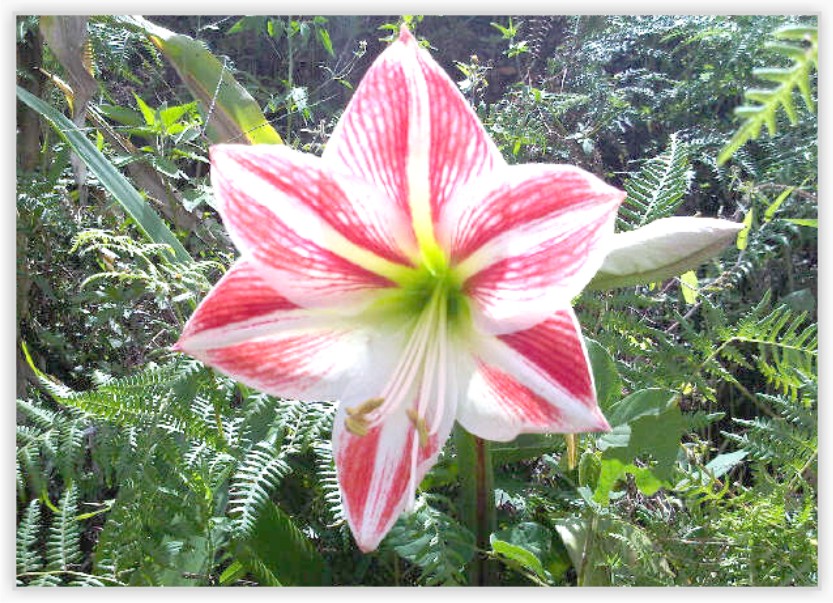
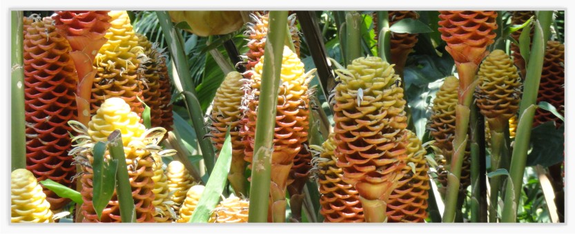
Currently, there are 95 species of flowers in abundance in the sector, from which helicons, orchids, and bromeliads stand out.
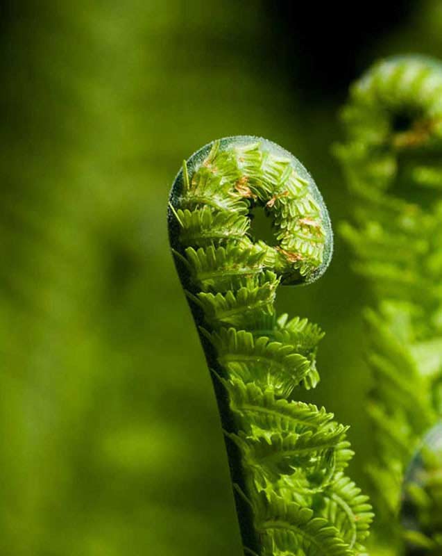
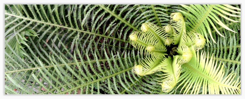
Equally, Corantioquia has found 620 species of plants such as a wide variety of palms, cycadaceae, ferns, bromeliads and many timber species like oak, cumin, barsino, caso de buey, and white guarumo tree.
It also presents a type of bushes or minor plants such as medicinal herbs, mosses, shrubs, vines and climbing plants.
Potential
Our lands are categorized as primary and secondary forests, with high CO2 capture level and production of oxygen for the richness of our planet and life on it.
Generate electricity through the use of water resources avoiding environmental damage.
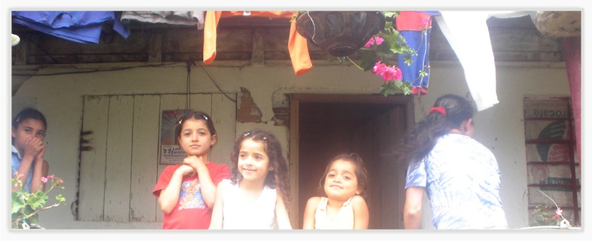
Generate an ecological culture among the community members to turn themselves into life model teachers.
Provide the necessary environmental conditions for allowing the Andean bear reproduction and increase in number its species without being a threat to the surrounding communities.
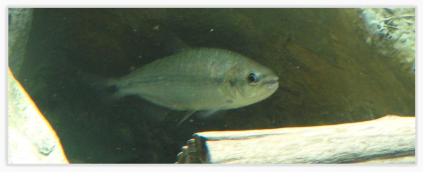
Protect the biotic resource still existing in aquatic ecosystems.


.jpg)

.jpg)